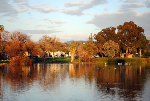
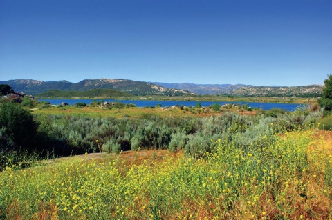
Louis A. Stelzer County Park


11470 Wildcat Canyon Road
Lakeside, CA 92040
United States

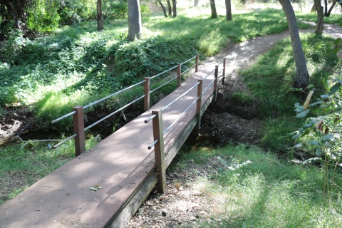
- Restrooms
- Playground
- Picnic Tables
- Leashed Pets Allowed
- Visitor Information
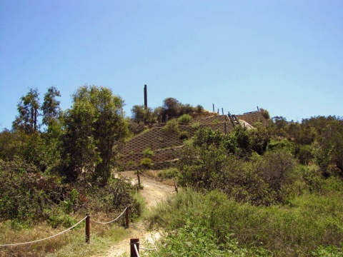
- Bike Trail
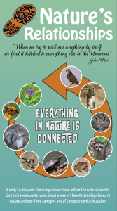
Everything in nature is connected in some way, including you! On this adventure, uncover how dependent relationships are on one another within an ecosystem.
TRACK your Adventure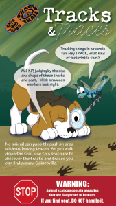
From footprints to scat, animals leave clues of their presence everywhere. On this adventure, learn to identify the tracks and traces animals leave behind!
TRACK your Adventure
Have you ever wanted to copy an animal's movement? On this adventure, follow along with the animal exercises on the pages and enjoy getting some energy out.
TRACK your Adventure
There's new things to uncover in nature everyday! On this adventure, explore your surroundings and check off a few common things often overlooked in nature.
TRACK your Adventure
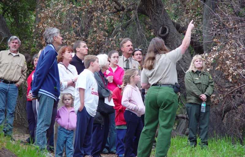
From ranger-led hikes to fishing events, many TRACK Trail sites offer public programs. Submit your own adventure from a park program or Junior Ranger activity here!
TRACK your Adventure
Let's see what we can discover today! On this adventure, explore your surroundings and use this checklist to find common things often overlooked in nature.
Start your e-Adventure
Have you ever wanted to copy an animal's movement? On this adventure, follow along with the animal exercises on the pages and enjoy getting some energy out.
Start your e-Adventure
Everything in nature is connected in some way, including you! On this adventure, uncover how dependent relationships are on one another within an ecosystem.
Start your e-Adventure
Do you kow what lichen is?! On this adventure, learn how lichen are created by algae and fungi coming together and how to identify the three types of lichen.
Start your e-AdventureTRACK Trail made possible by