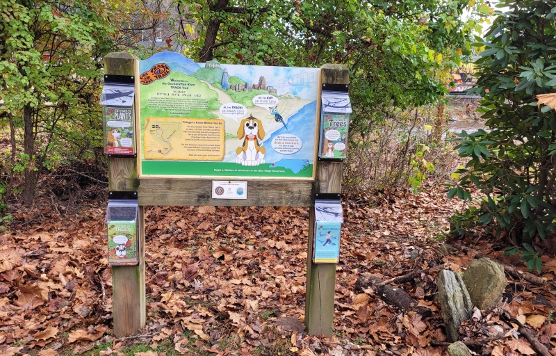
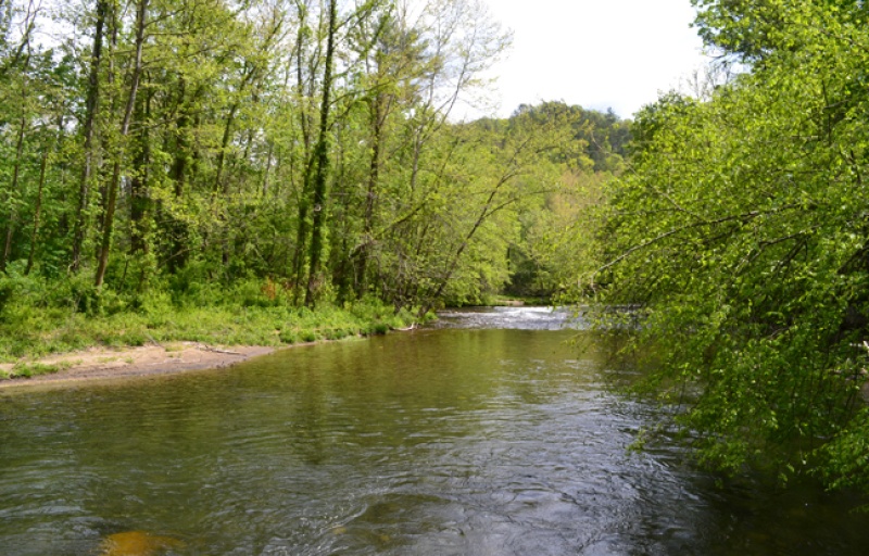
Cherokee - Oconaluftee River Trail

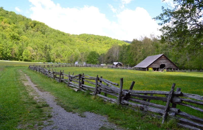
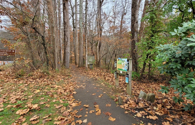
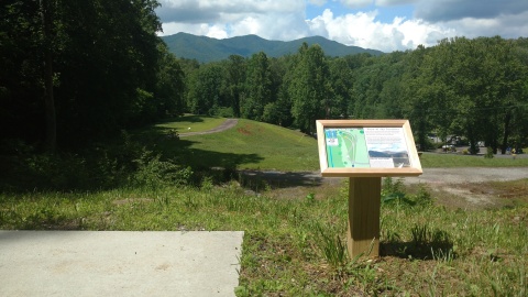
Oconaluftee River Trailhead / Barclay's Parking Area
Tsali Blvd (SR-441 Northbound) at Acquoni Rd.
Cherokee, NC 28719
United States
- Restrooms
- Visitor Information

Animals are often at the center of Cherokee tales. On this adventure, have a go at each animal exercise and uncover the animal's significance in Cherokee culture.
TRACK your Adventure
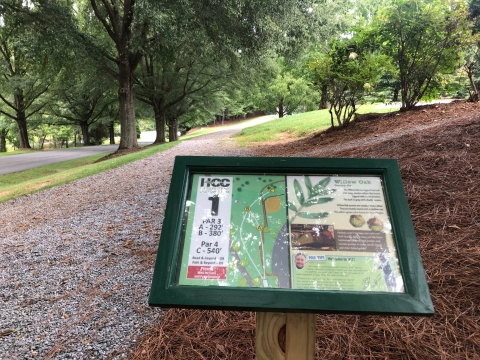
Trees play a vital role in their environment and in the lives of people and animals. On this adventure, learn to identify six common trees found in the area.
TRACK your Adventure
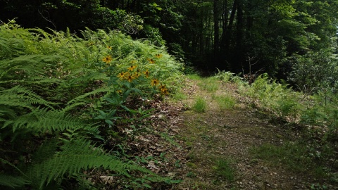
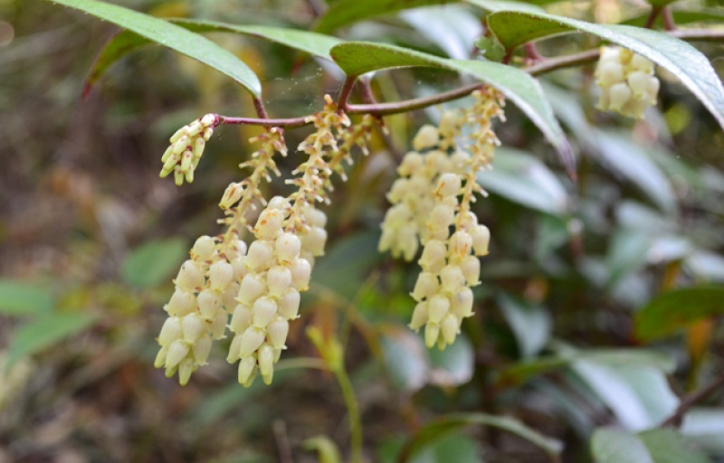
For generations, the Cherokee Nation have used plants for a multitude of reasons. On this adventure, discover six of these plants along the Oconaluftee River.
TRACK your Adventure
Ready to discover what's hidden in plain sight? On this adventure, be on the lookout for common things often overlooked in nature and see what you can find today!
TRACK your Adventure
From ranger-led hikes to fishing events, many TRACK Trail sites offer public programs. Submit your own adventure from a park program or Junior Ranger activity here!
TRACK your Adventure
Let's see what we can discover today! On this adventure, explore your surroundings and use this checklist to find common things often overlooked in nature.
Start your e-Adventure
Have you ever wanted to copy an animal's movement? On this adventure, follow along with the animal exercises on the pages and enjoy getting some energy out.
Start your e-Adventure
Ready to investigate the world of creeping and crawling critters? On this adventure, recognize the differences between insects, spiders, and other arthropods.
Start your e-Adventure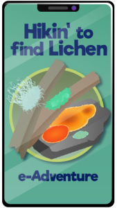
Do you kow what lichen is?! On this adventure, learn how lichen are created by algae and fungi coming together and how to identify the three types of lichen.
Start your e-AdventureTRACK Trail made possible by