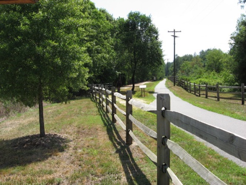
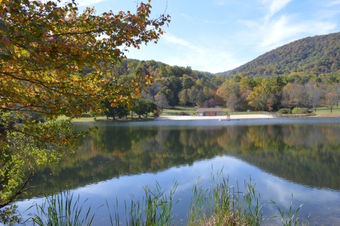
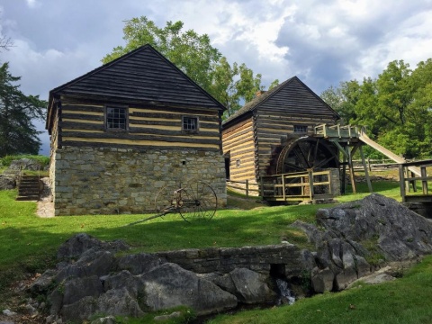
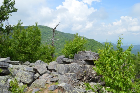
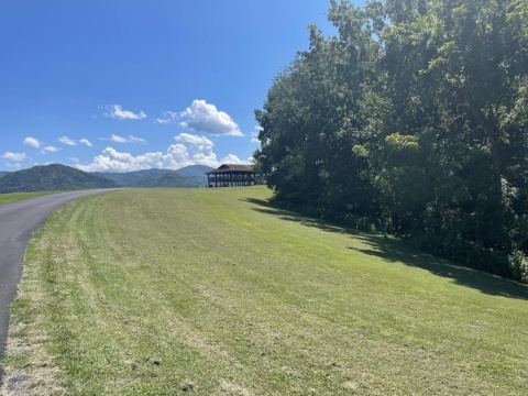
Rockfish Valley

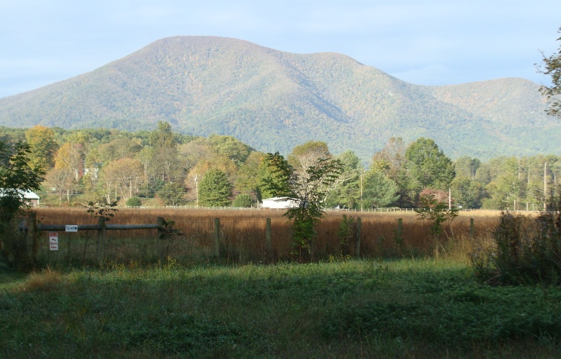
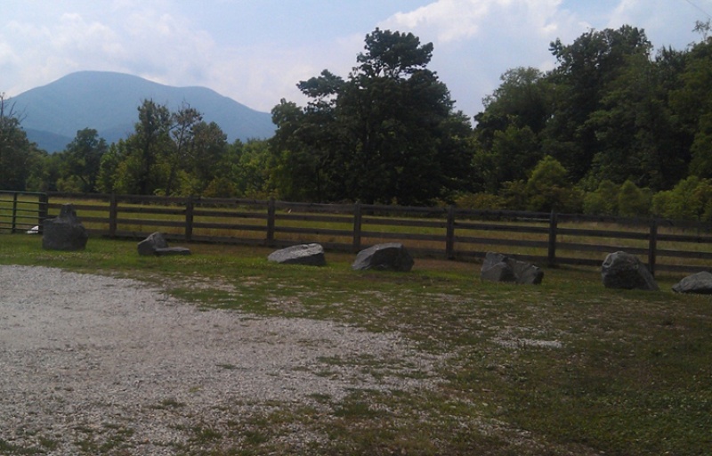
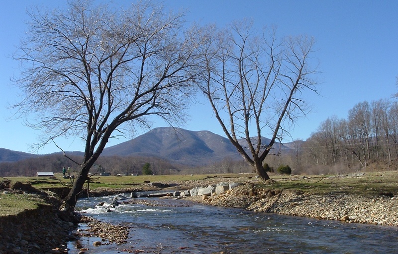
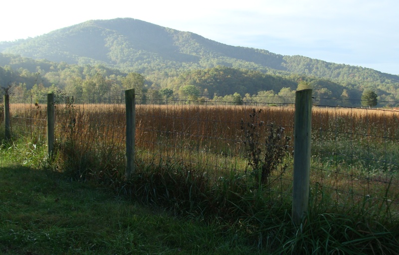
1368 Rockfish Valley Hwy
Nellysford, VA 22958
United States
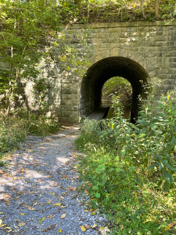
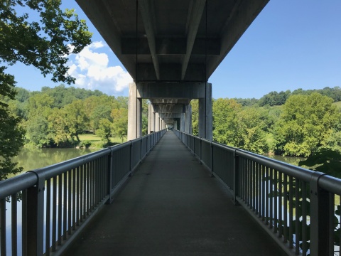
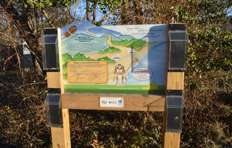
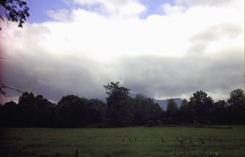
- Restrooms
- Picnic Tables
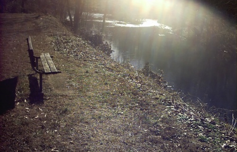
- Fishing
- Visitor Information
- Bike Trail
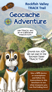
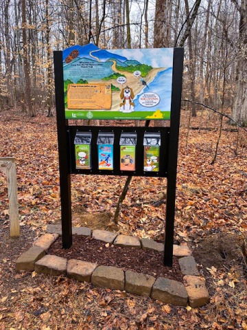
Get ready to discover the natural and cultural wonders of Rockfish. On this adventure, grab a GPS device or smartphone to find hidden treasures on the land.
TRACK your Adventure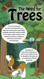
Trees play a vital role in their environment and in the lives of people and animals. On this adventure, find out about six common trees found along the trail.
TRACK your Adventure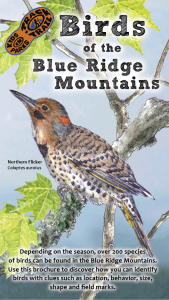
Birds are an important part of our ecosystem. On this adventure, learn to identify several birds in the area through illustrations, field markings, and calls.
TRACK your Adventure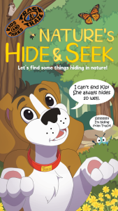
Ready to discover what's hidden in plain sight? On this adventure, be on the lookout for common things often overlooked in nature and see what you can find today!
TRACK your Adventure
From ranger-led hikes to fishing events, many TRACK Trail sites offer public programs. Submit your own adventure from a park program or Junior Ranger activity here!
TRACK your Adventure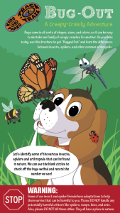
Ready to investigate the world of creeping and crawling critters? On this adventure, recognize the differences between insects, spiders, and other arthropods.
TRACK your Adventure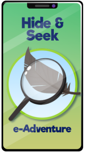
Let's see what we can discover today! On this adventure, explore your surroundings and use this checklist to find common things often overlooked in nature.
Start your e-Adventure
Have you ever wanted to copy an animal's movement? On this adventure, follow along with the animal exercises on the pages and enjoy getting some energy out.
Start your e-Adventure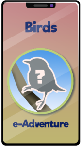
Birds are an important part of our ecosystem. On this adventure, learn to identify several birds in the area through illustrations, field markings, and calls.
Start your e-Adventure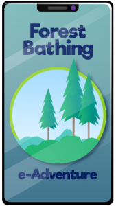
Shinrin-yoku, or Forest Bathing, is the act of being fully present in the woods. On this adventure, immersive yourself in nature by engaging all your senses.
Start your e-Adventure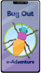
Ready to investigate the world of creeping and crawling critters? On this adventure, recognize the differences between insects, spiders, and other arthropods.
Start your e-Adventure