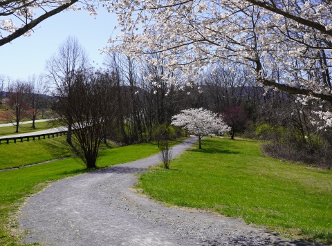
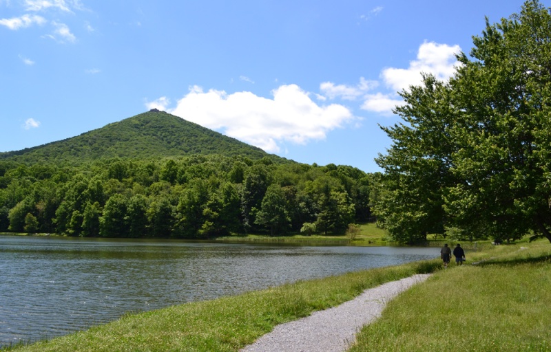
Blue Ridge Parkway - Peaks of Otter

85919 Blue Ridge Parkway
Bedford, VA 24523
United States
- Lodging Cabins
- Restrooms
- Picnic Tables
- Fishing
- Leashed Pets Allowed
- Campground
- Visitor Information
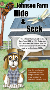
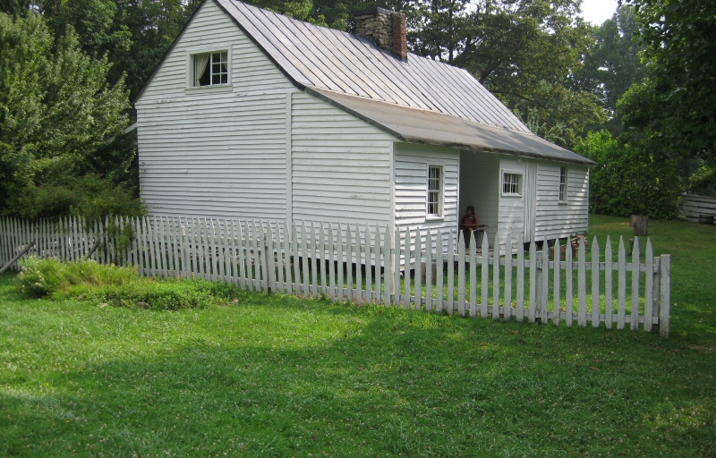
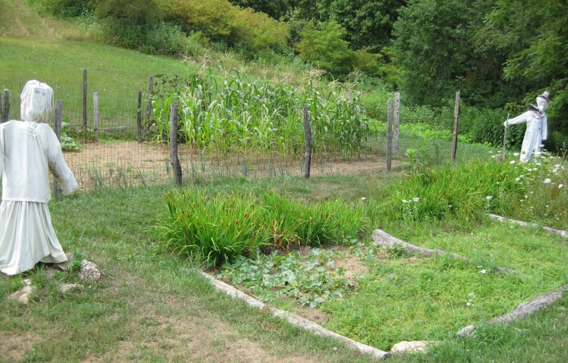
Step back into the early 1900's at Johnson Farm. On this adventure, explore the grounds and preserved pieces of the property through a fun scavenger hunt.
TRACK your Adventure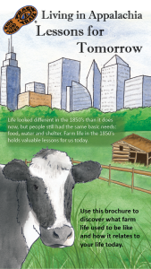
Step back in time to the 1930's and experience Appalachian life. On this adventure, explore the farm grounds and compare life in the past to modern amenities.
TRACK your Adventure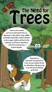
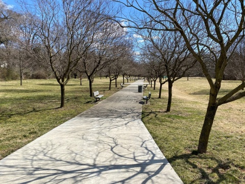
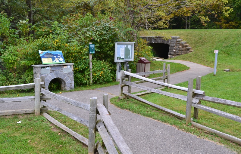
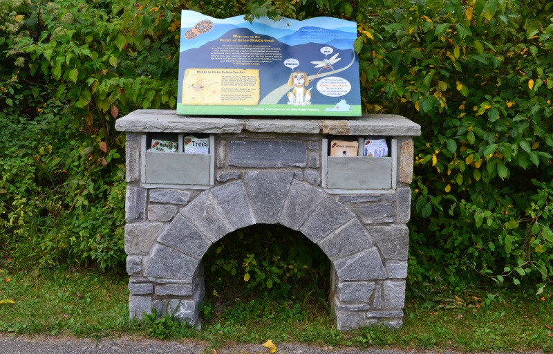
Trees play a vital role in their environment and in the lives of people and animals. On this adventure, find out about six common trees found along the trail.
TRACK your Adventure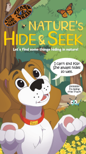
Ready to discover what's hidden in plain sight? On this adventure, be on the lookout for common things often overlooked in nature and see what you can find today!
TRACK your Adventure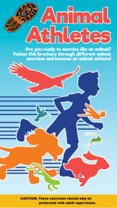
Have you ever wanted to copy an animal's movement? On this adventure, follow along with the animal exercises on the pages and enjoy getting some energy out.
TRACK your Adventure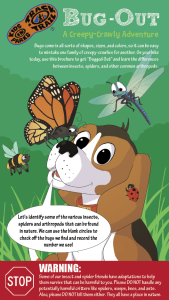
Ready to investigate the world of creeping and crawling critters? On this adventure, recognize the differences between insects, spiders, and other arthropods.
TRACK your Adventure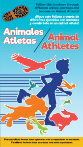
¿Alguna vez has querido copiar el movimiento de un animal? En esta aventura utiliza tu imaginación y muévete con los ejercicios de los animales en las paginas
TRACK your Adventure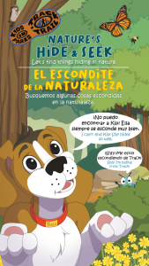
¡Hay cosas nuevas que descubrir en la naturaleza todos los días! En esta aventura, explore sus alrededores y encuentre cosas que a menudo se pasan por alto.
TRACK your Adventure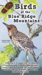
Birds are an important part of our ecosystem. On this adventure, learn to identify several birds in the area through illustrations, field markings, and calls.
TRACK your Adventure
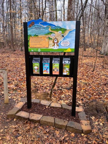
From ranger-led hikes to fishing events, many TRACK Trail sites offer public programs. Submit your own adventure from a park program or Junior Ranger activity here!
TRACK your Adventure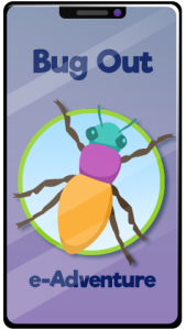
Ready to investigate the world of creeping and crawling critters? On this adventure, recognize the differences between insects, spiders, and other arthropods.
Start your e-Adventure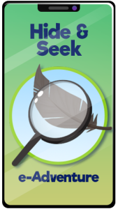
Let's see what we can discover today! On this adventure, explore your surroundings and use this checklist to find common things often overlooked in nature.
Start your e-Adventure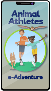
Have you ever wanted to copy an animal's movement? On this adventure, follow along with the animal exercises on the pages and enjoy getting some energy out.
Start your e-Adventure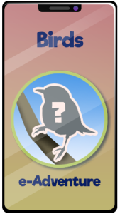
Birds are an important part of our ecosystem. On this adventure, learn to identify several birds in the area through illustrations, field markings, and calls.
Start your e-Adventure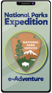
The National Park Service protects and preserves some of the most important natural and historical treasures in the United States. You may have never noticed, but the NPS arrowhead emblem tells the story of what rangers protect at every National Park site.
Start your e-Adventure