Hanging Rock State Park

1790 Hanging Rock Park Road
Danbury, NC 27016
United States
The Upper Cascades Trail is gravel.
- Food Service
- Lodging Cabins
- Restrooms
- Canoe / Kayak
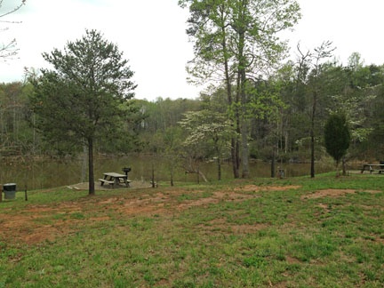
- Picnic Tables
- RV Camping
- Shelter/Pavilion
- Swimming
- Leashed Pets Allowed
- Campground
- Visitor Information
- Bike Trail
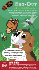
Ready to investigate the world of creeping and crawling critters? On this adventure, recognize the differences between insects, spiders, and other arthropods.
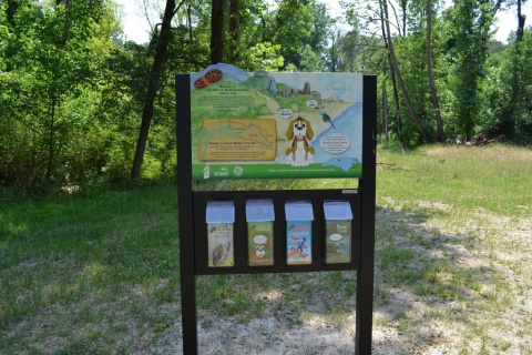
TRACK your Adventure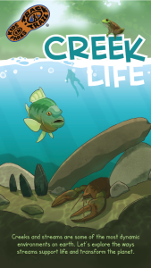
Creeks and streams are some of the most dynamic environments on earth. On this adventure, explore how a creek supports life and transforms its surroundings.
TRACK your Adventure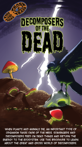
All ecosystems need organisms that help break down dead matter. On this adventure, learn about decomposers and scavengers and how they benefit the environment.
TRACK your Adventure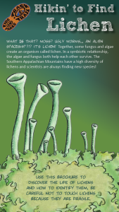
Do you know what a lichen is?! On this adventure, learn how lichen are created by algae and fungi coming together and how to identify the three types of lichen.
TRACK your Adventure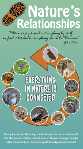
Everything in nature is connected in some way, including you! On this adventure, uncover how dependent relationships are on one another within an ecosystem.
TRACK your Adventure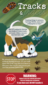
From footprints to scat, animals leave clues of their presence everywhere. On this adventure, learn to identify the tracks and traces animals leave behind!
TRACK your Adventure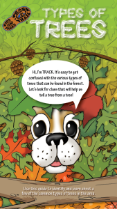
It’s easy to get confused by all the tree species found in the forest. On this adventure, learn to identify a few of the common types of trees in the area.
TRACK your Adventure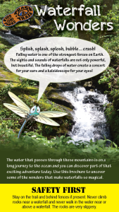
Waterfalls are both beautiful and powerful forces of nature. On this adventure, discover the wonders of waterfalls through sensory activities and checklists.
TRACK your Adventure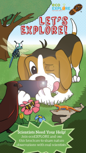
Scientists need your help documenting species! On this adventure, learn how to become an ecoEXPLORER and share your nature observations with real scientists.
TRACK your Adventure
From ranger-led hikes to fishing events, many TRACK Trail sites offer public programs. Submit your own adventure from a park program or Junior Ranger activity here!
TRACK your Adventure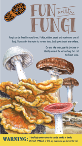
Fungi are found all over the world and play an important role in the environment. On this adventure, learn to identify several fungi species growing nearby.
TRACK your Adventure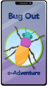
Ready to investigate the world of creeping and crawling critters? On this adventure, recognize the differences between insects, spiders, and other arthropods.
Start your e-Adventure
Let's see what we can discover today! On this adventure, explore your surroundings and use this checklist to find common things often overlooked in nature.
Start your e-Adventure
Have you ever wanted to copy an animal's movement? On this adventure, follow along with the animal exercises on the pages and enjoy getting some energy out.
Start your e-Adventure
Do you kow what lichen is?! On this adventure, learn how lichen are created by algae and fungi coming together and how to identify the three types of lichen.
Start your e-Adventure
Everything in nature is connected in some way, including you! On this adventure, uncover how dependent relationships are on one another within an ecosystem.
Start your e-Adventure
Fungi are found all over the world and play an important role in the environment. On this adventure, learn to identify several fungi species growing nearby.
Start your e-Adventure
Creeks and streams are some of the most dynamic environments on earth. On this adventure, explore how a creek supports life and transforms its surroundings.
Start your e-Adventure