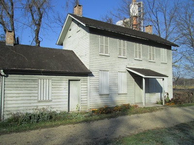
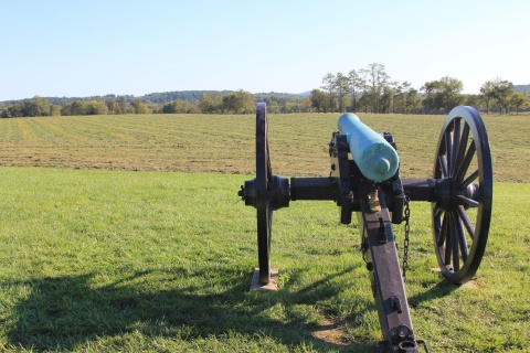
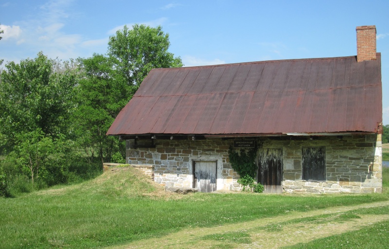
Antietam National Battlefield - Mumma Roulette Farms

5831 Dunker Church Rd.
Sharpsburg, MD 21782
United States
- Restrooms
- Picnic Tables
- Leashed Pets Allowed
- Visitor Information
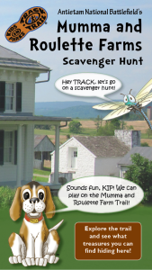
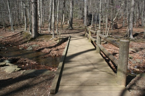
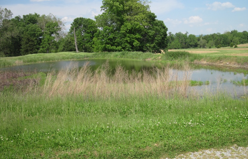
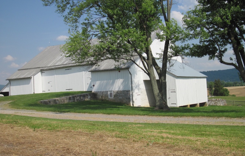
The Battle of Antietam took place on the Mumma and Roulette family farms. On this adventure, spot several cultural and natural features around the property.
TRACK your Adventure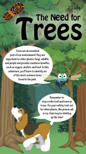
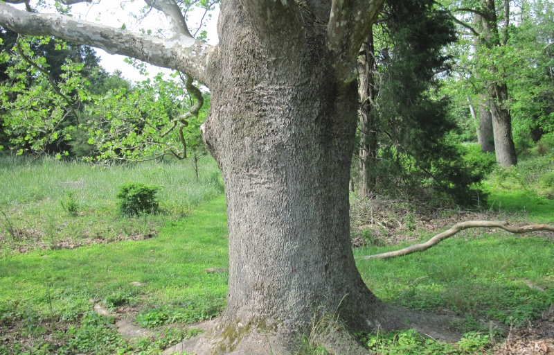
Trees play a vital role in their environment and in the lives of people and animals. On this adventure, learn to identify six common trees found in the area.
TRACK your Adventure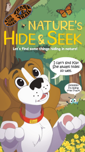
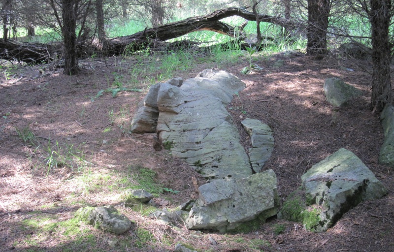
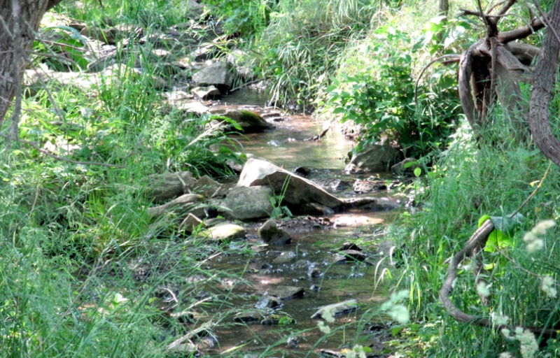
Ready to discover what's hidden in plain sight? On this adventure, be on the lookout for common things often overlooked in nature and see what you can find today!
TRACK your Adventure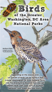
Birds are an important part of our ecosystem. On this adventure, learn to identify several birds in the area through illustrations, field markings, and calls.
TRACK your Adventure
From ranger-led hikes to fishing events, many TRACK Trail sites offer public programs. Submit your own adventure from a park program or Junior Ranger activity here!
TRACK your Adventure
Let's see what we can discover today! On this adventure, explore your surroundings and use this checklist to find common things often overlooked in nature.
Start your e-Adventure
Many flowers need help from pollinators to reproduce. On this adventure, uncover how flowers attract pollinators through different sizes, colors, and smells.
Start your e-Adventure
Birds are an important part of our ecosystem. On this adventure, learn to identify several birds in the area through illustrations, field markings, and calls.
Start your e-Adventure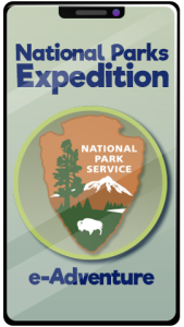
The National Park Service protects and preserves some of the most important natural and historical treasures in the United States. You may have never noticed, but the NPS arrowhead emblem tells the story of what rangers protect at every National Park site.
Start your e-Adventure