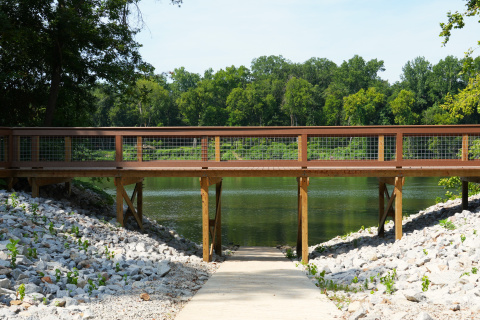
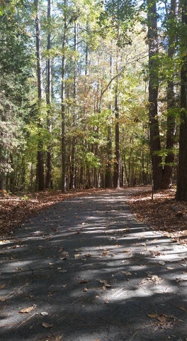
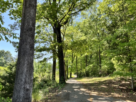
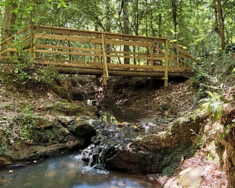
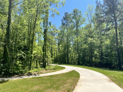
Peak to Prosperity - Palmetto Trail

State Rd S-20-35
Little Mountain, SC 29075
United States
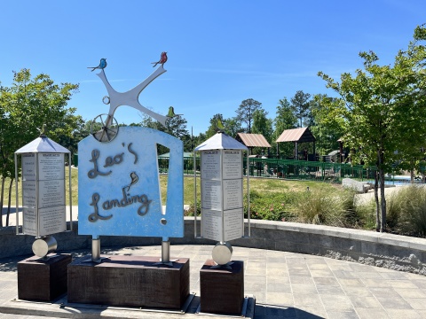
- Picnic Tables
- Leashed Pets Allowed
- Bike Trail
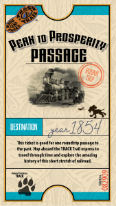
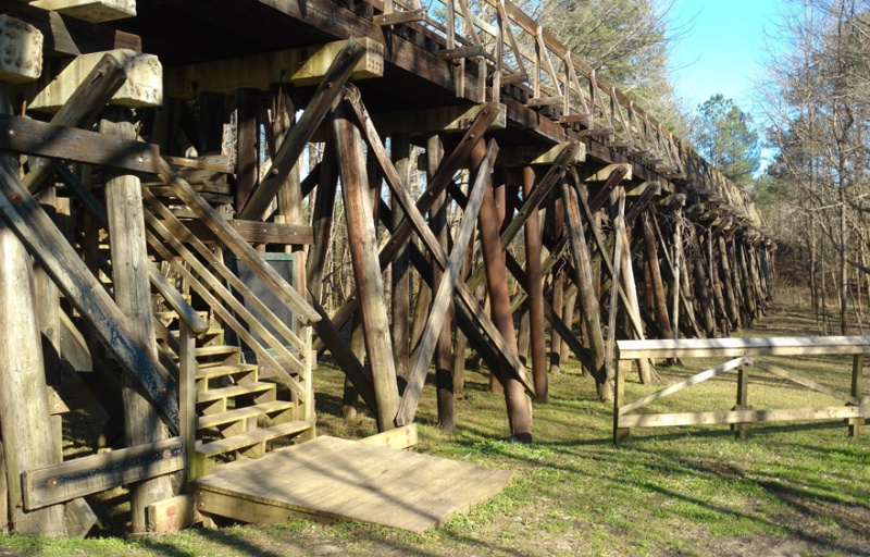
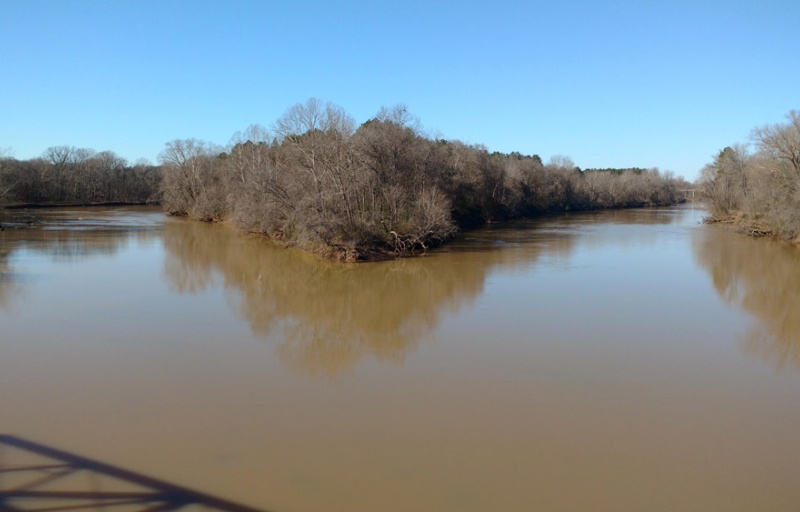
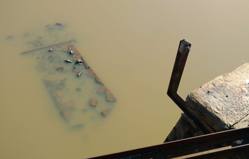
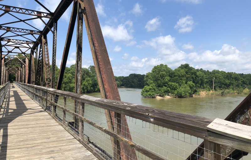
Hop aboard - we're going full steam ahead on a trip through time! On this adventure, this stretch of old railroad comes alive with hidden stories of the past.
TRACK your Adventure
Have you ever wanted to copy an animal's movement? On this adventure, follow along with the animal exercises on the pages and enjoy getting some energy out.
TRACK your Adventure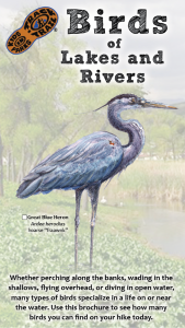
Birds are an important part of our ecosystem. On this adventure, learn to identify several birds in the area through illustrations, field markings, and calls.
TRACK your Adventure
Ready to discover what's hidden in plain sight? On this adventure, be on the lookout for common things often overlooked in nature and see what you can find today!
TRACK your Adventure
From ranger-led hikes to fishing events, many TRACK Trail sites offer public programs. Submit your own adventure from a park program or Junior Ranger activity here!
TRACK your Adventure
Let's see what we can discover today! On this adventure, explore your surroundings and use this checklist to find common things often overlooked in nature.
Start your e-Adventure
Have you ever wanted to copy an animal's movement? On this adventure, follow along with the animal exercises on the pages and enjoy getting some energy out.
Start your e-Adventure
Birds are an important part of our ecosystem. On this adventure, learn to identify several birds in the area through illustrations, field markings, and calls.
Start your e-Adventure
Ready to investigate the world of creeping and crawling critters? On this adventure, recognize the differences between insects, spiders, and other arthropods.
Start your e-Adventure