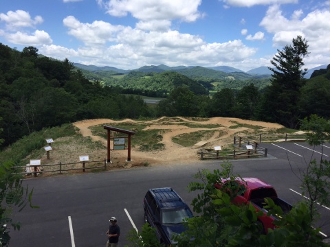
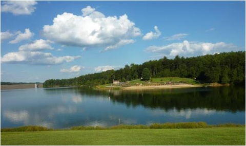
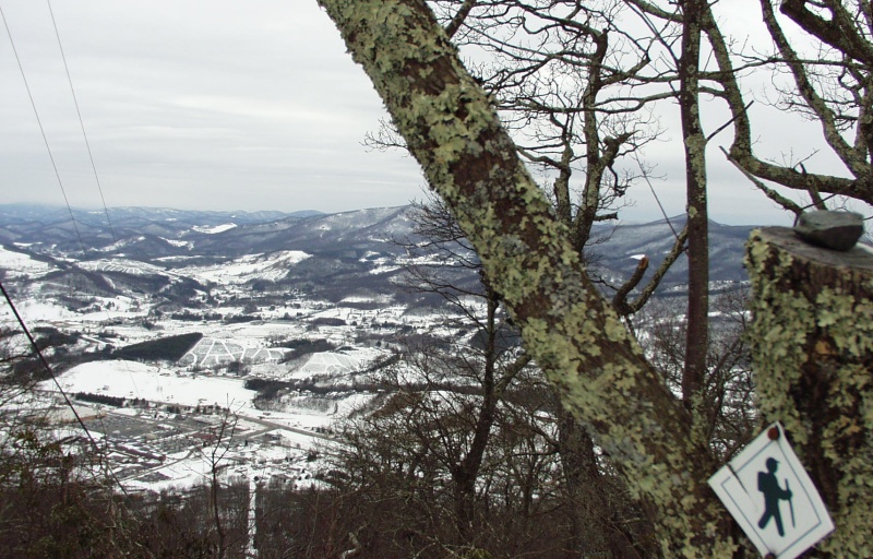
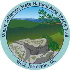
Mount Jefferson State Natural Area


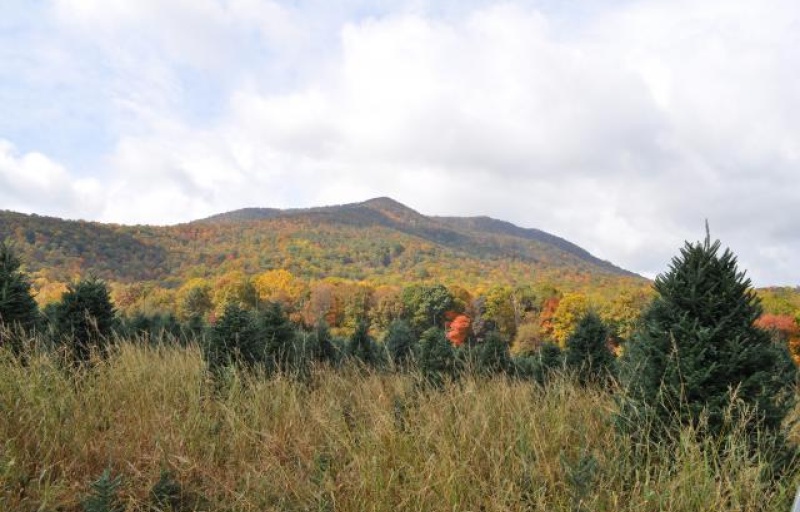
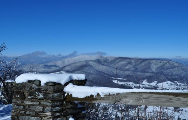
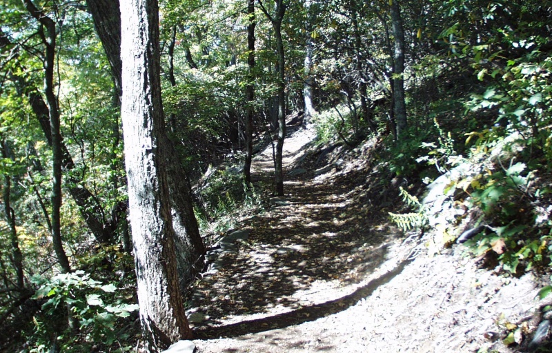
1481 Mt. Jefferson State Park Rd.
West Jefferson, NC 28694
United States
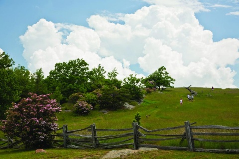
- Restrooms
- Picnic Tables
- Shelter/Pavilion
- Leashed Pets Allowed

Have you ever wanted to copy an animal's movement? On this adventure, follow along with the animal exercises on the pages and enjoy getting some energy out.
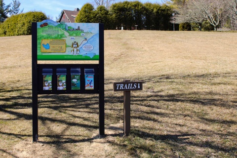
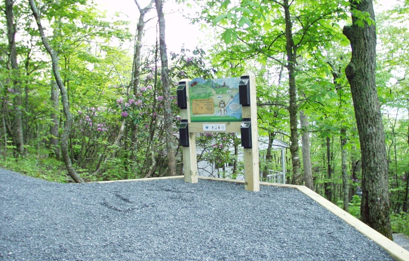
TRACK your Adventure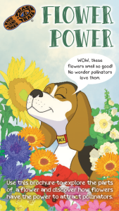
Many flowers need help from pollinators to reproduce. On this adventure, uncover how flowers attract pollinators through different sizes, colors, and smells.
TRACK your Adventure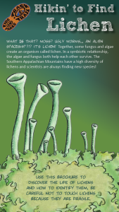
Do you know what a lichen is?! On this adventure, learn how lichen are created by algae and fungi coming together and how to identify the three types of lichen.
TRACK your Adventure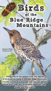
Birds are an important part of our ecosystem. On this adventure, learn to identify several birds in the area through illustrations, field markings, and calls.
TRACK your Adventure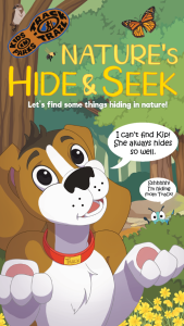
Ready to discover what's hidden in plain sight? On this adventure, be on the lookout for common things often overlooked in nature and see what you can find today!
TRACK your Adventure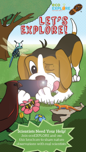
Scientists need your help documenting species! On this adventure, learn how to become an ecoEXPLORER and share your nature observations with real scientists.
TRACK your Adventure
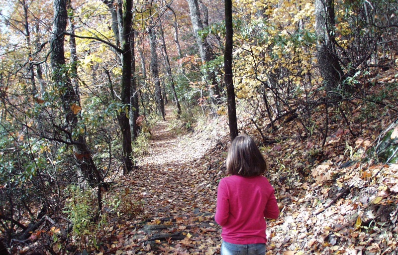
From ranger-led hikes to fishing events, many TRACK Trail sites offer public programs. Submit your own adventure from a park program or Junior Ranger activity here!
TRACK your Adventure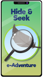
Let's see what we can discover today! On this adventure, explore your surroundings and use this checklist to find common things often overlooked in nature.
Start your e-Adventure
Have you ever wanted to copy an animal's movement? On this adventure, follow along with the animal exercises on the pages and enjoy getting some energy out.
Start your e-Adventure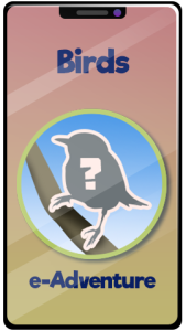
Birds are an important part of our ecosystem. On this adventure, learn to identify several birds in the area through illustrations, field markings, and calls.
Start your e-Adventure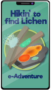
Do you kow what lichen is?! On this adventure, learn how lichen are created by algae and fungi coming together and how to identify the three types of lichen.
Start your e-Adventure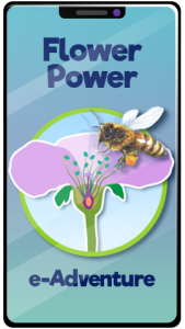
Many flowers need help from pollinators to reproduce. On this adventure, uncover how flowers attract pollinators through different sizes, colors, and smells.
Start your e-Adventure