Angostura Recreation Area NTDGC

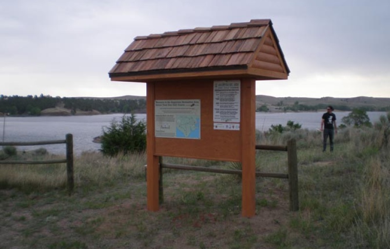

13157 Angostura View Estates Rd
Hot Springs, SD 57747
United States
TRACK Trail Details
Location Features
- Lodging Cabins
- Restrooms
- Canoe / Kayak
- Playground
- Picnic Tables
- Fishing
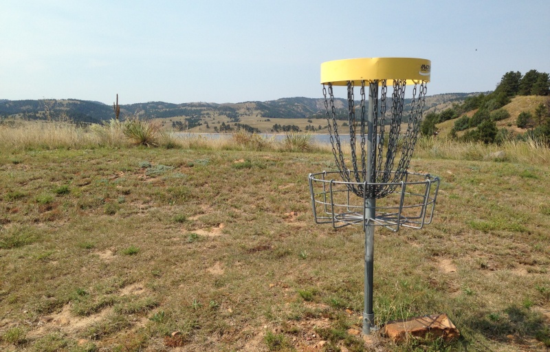
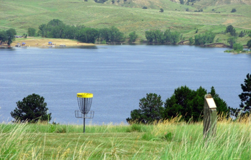
- Disc Golf
- Boat Launch
- Drinking Water
- RV Camping
- Shelter/Pavilion
- Swimming
- Campground
- Visitor Information
- Bike Trail
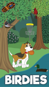
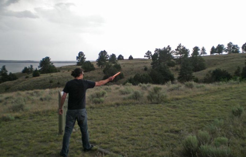
Birdies
We love to see "birdies" during a round of disc golf. On this adventure, use the scorecard to discover some of the more common birds flying around the course.
TRACK your Adventure
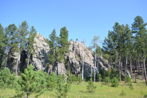
Tree Love
"Tree Love" is when you hit a tree with your disc and get a favorable bounce. On this adventure, use the scorecard to identify several trees on the course.
TRACK your AdventureTRACK Trail made possible by