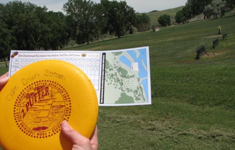
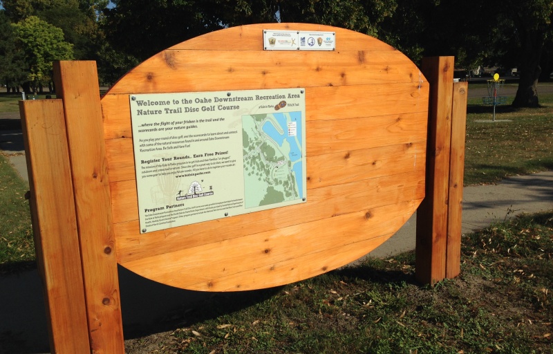
Oahe Downstream Recreation Area NTDGC


20422 Marina Loop
Fort Pierre, SD 57532
United States
TRACK Trail Details
Location Features
- Lodging Cabins
- Restrooms
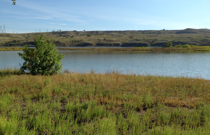
- Canoe / Kayak
- Playground
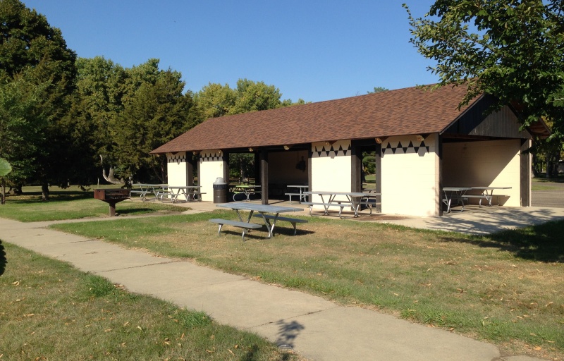
- Picnic Tables
- Fishing
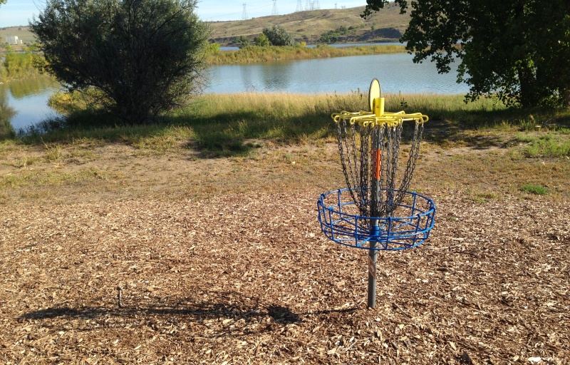
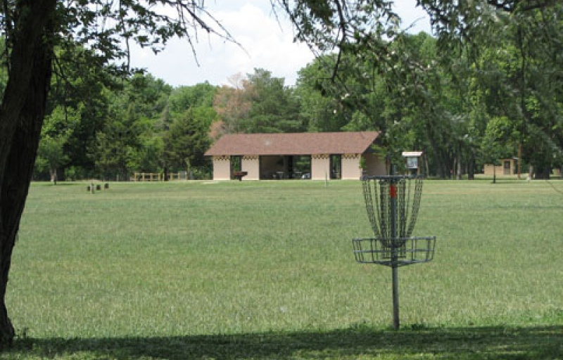
- Disc Golf
- Boat Launch
- Shelter/Pavilion
- Swimming
- Leashed Pets Allowed
- Campground
- Visitor Information
- Bike Trail
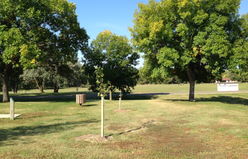
Birdies
We love to see "birdies" during a round of disc golf. On this adventure, use the scorecard to discover some of the more common birds flying around the course.
TRACK your Adventure
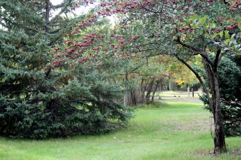
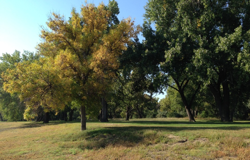
Tree Love
"Tree Love" is when you hit a tree with your disc and get a favorable bounce. On this adventure, use the scorecard to identify several trees on the course.
TRACK your AdventureTRACK Trail made possible by