Fort Laramie National Historic Site

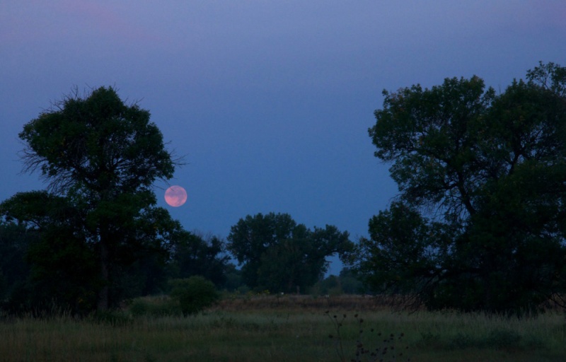
965 Gray Rocks Road
Fort Laramie, WY 82212
United States
- Leashed Pets Allowed
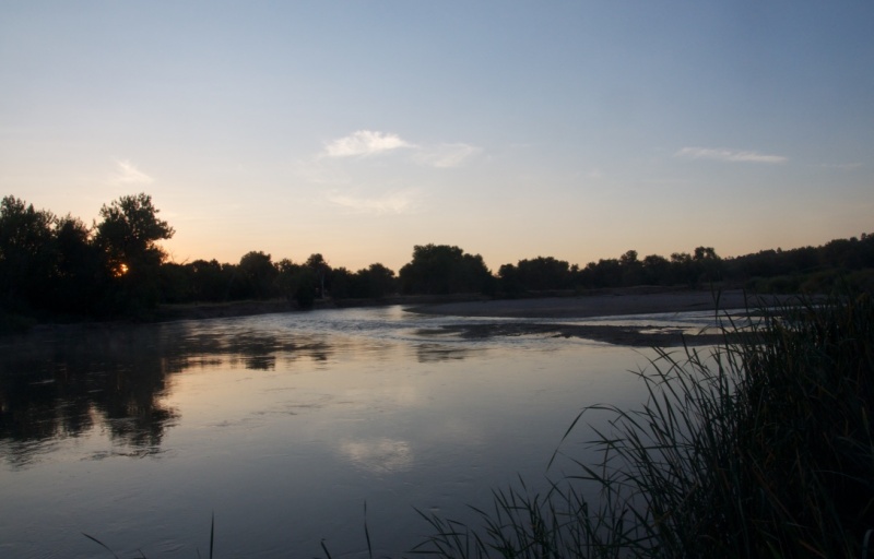
- Visitor Information
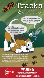
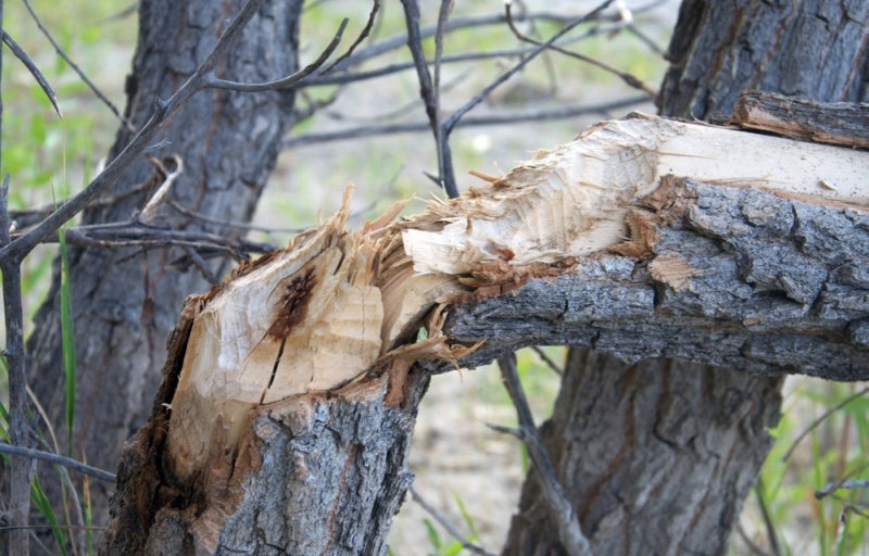
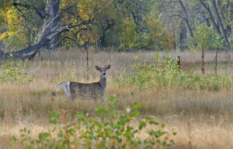
From footprints to scat, animals leave clues of their presence everywhere. On this adventure, learn to identify the tracks and traces animals leave behind!
TRACK your Adventure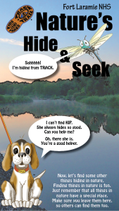
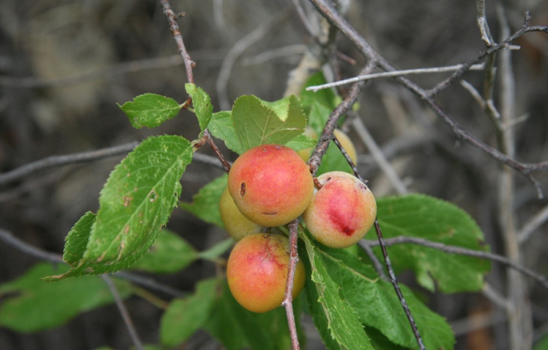
There's new things to uncover in nature everyday! On this adventure, explore your surroundings and check off a few common things often overlooked in nature.
TRACK your Adventure
From ranger-led hikes to fishing events, many TRACK Trail sites offer public programs. Submit your own adventure from a park program or Junior Ranger activity here!
TRACK your Adventure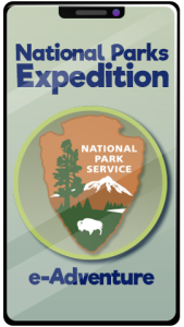
The National Park Service protects and preserves some of the most important natural and historical treasures in the United States. You may have never noticed, but the NPS arrowhead emblem tells the story of what rangers protect at every National Park site.
Start your e-Adventure
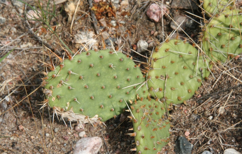
Let's see what we can discover today! On this adventure, explore your surroundings and use this checklist to find common things often overlooked in nature.
Start your e-Adventure
Have you ever wanted to copy an animal's movement? On this adventure, follow along with the animal exercises on the pages and enjoy getting some energy out.
Start your e-Adventure
Ready to investigate the world of creeping and crawling critters? On this adventure, recognize the differences between insects, spiders, and other arthropods.
Start your e-Adventure